Map & Compass: orienting the map using a compass
A short video from out YouTube channel that shows how to orientate a map using a compass. Although this is done in a classroom, it can also be done when out on the hills, moors and mountains.
A short video from out YouTube channel that shows how to orientate a map using a compass. Although this is done in a classroom, it can also be done when out on the hills, moors and mountains.
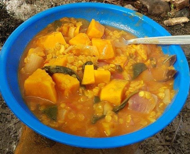
For those who have been to one of our Corporate Development events or an Bushcraft Skills day- you’re probably familiar with our Sweet Potato Dahl recipe! It’s always a winner. Tasty, filling and relatively easy to prepare- it was originally intended to be a vegan/vegetarian option- but is popular with everyone- regardless of dietary preference…
A short video from out YouTube channel that shows how to measure distances on a map- something needed when planning routes.
A short video from out YouTube channel that shows how to estimate the time of legs when planning routes- a key navigation skill!

During last week’s Home Educators’ Forest School session we made a couple of bannocks; bannock sounds as if it has a Scottish heritage- indeed, a quick piece of research suggests that the word itself has a translation of morsel in Gaelic. Without the time for detailed research I’ll leave it at that… Safe to say, bannock is something…
A short video from out YouTube channel that shows how to take a grid bearing (a bearing on the map…), and then convert it to a magnetic bearing.

Finding North is a fundamental skill in the outdoors. We can use it to avoid chilly winds, to get the warmth of the sun in the morning, to make sure we’re walking in the right direction and to locate ourselves. This is the latest idea of how you can spend half an hour, outside, being…